Meridian / Travel / The Lake Passage

The Lake Passage / Open route file

A three-stage concept with no scale or GPS data. The supplied sequence is a planning device, with actual ground, logistics and support still to be confirmed.
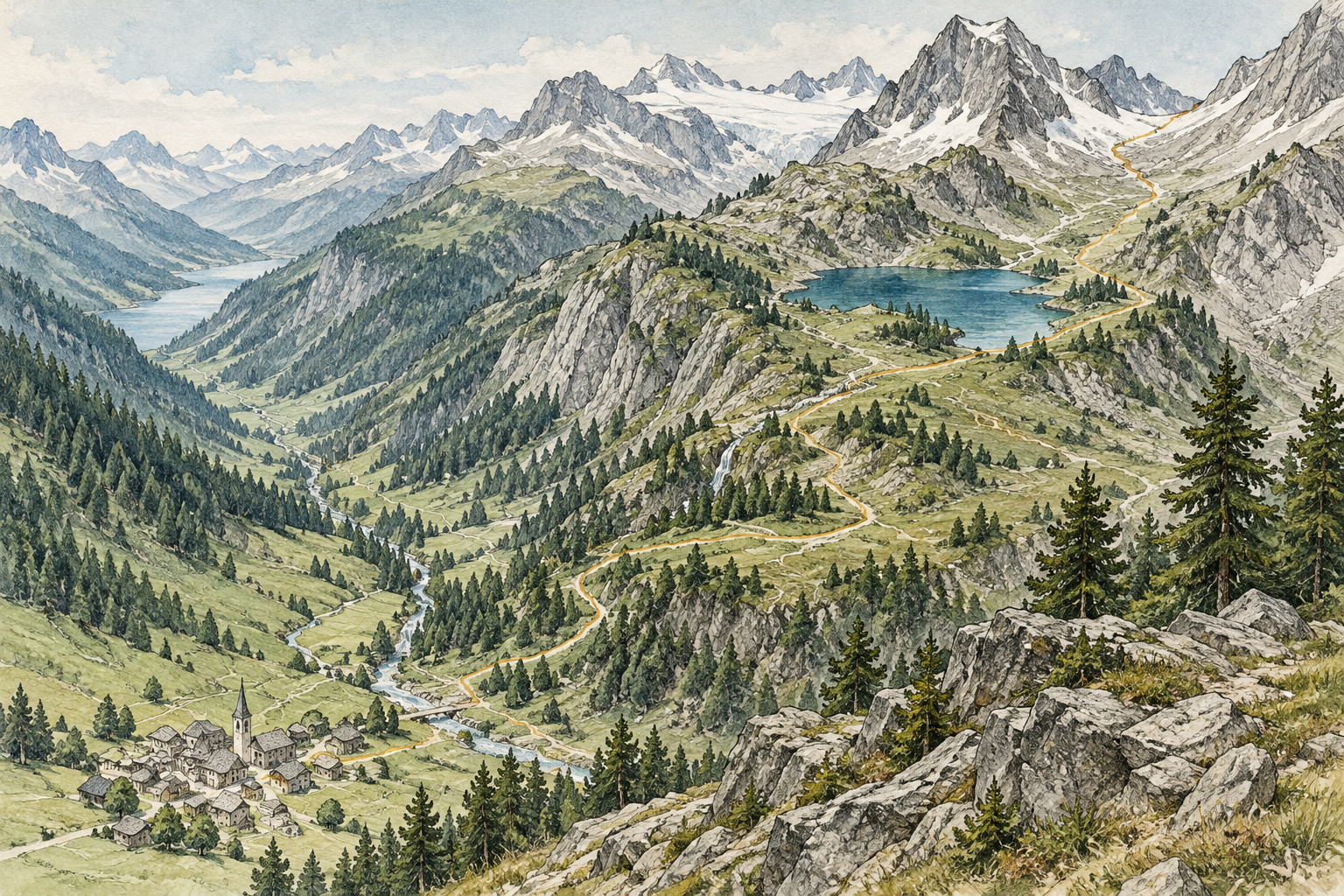
Printmaking study of a lake route through mountains; not a navigation map
The Lake Passage / Concept terrain

Follow the joins between the days.

Explore the fictional Lake Passage. Each stage pairs a ground study with the rest, support and next-step questions that belong beside it.

Arrival / Find your bearings

Start with the shelter and the first view of the shore. This drawing shows a transition, not a measured path.

Rest and support
Ask where the group can pause after travelling, and who meets them.
The join to the next part
The next stage begins beside the water. Confirm how people and bags reach its start.

Take these questions to the organiser

0 selections kept for this visitPrepare your expedition brief

Read the route register

Purpose
Illustrate a route conversation around a lake setting
Stages
Arrival / Shoreline / Wider view
Confirmed operational data
None connected
Needed before a booking
Actual itinerary, terrain, support, access and complete provider terms
ArrivalShorelineWider view
Planning sequence only / No scale, GPS or terrain grade

Stage records

Day one / Arrival

Find your bearings.

Leave room for arrival, the onward transfer and a first look at the surroundings. The sample day begins with getting settled rather than assuming a full walking programme.

Ask the organiser
How is the start reached, what is included in the transfer and what happens if arrival is delayed?
Still unconfirmed
The actual start, transport, timings and accommodation have not been specified.
Preparation note for this stage

Match the real stage information to the group’s needs. Confirm transfers, what must be carried and how the organiser handles a change before treating the plan as ready.

Bring this stage into a brief

Day two / Shoreline

Follow the water.

This sample stage focuses the conversation on a lakeside sequence, rests and alternatives. The illustration does not identify a real path, crossing or approved walking route.

Ask the organiser
What is the ground like, where are the pauses and how can the stage be shortened or changed?
Still unconfirmed
Distance, surface, ascent, exposure and support need current provider information.
Preparation note for this stage

Match the real stage information to the group’s needs. Confirm transfers, what must be carried and how the organiser handles a change before treating the plan as ready.

Bring this stage into a brief

Day three / Wider view

Take the next perspective.

The final sample stage pairs a wider-view idea with a discussion of return arrangements. The real journey must leave enough room for onward travel and any change of plan.

Ask the organiser
How is the return arranged, and what alternative is used when conditions or the group’s needs change?
Still unconfirmed
The actual viewpoint, access, weather decisions and departure arrangements are unconfirmed.
Preparation note for this stage

Match the real stage information to the group’s needs. Confirm transfers, what must be carried and how the organiser handles a change before treating the plan as ready.

Bring this stage into a brief

A route drawing is not navigation

This page has no downloadable navigation file and no instructions for following a trail. Use the actual organiser’s current route information and appropriate advice for a real journey.

Look at the sample days as a whole.

The stage ledger shows where questions about arrival, movement and return fit together.

Read the sample stages